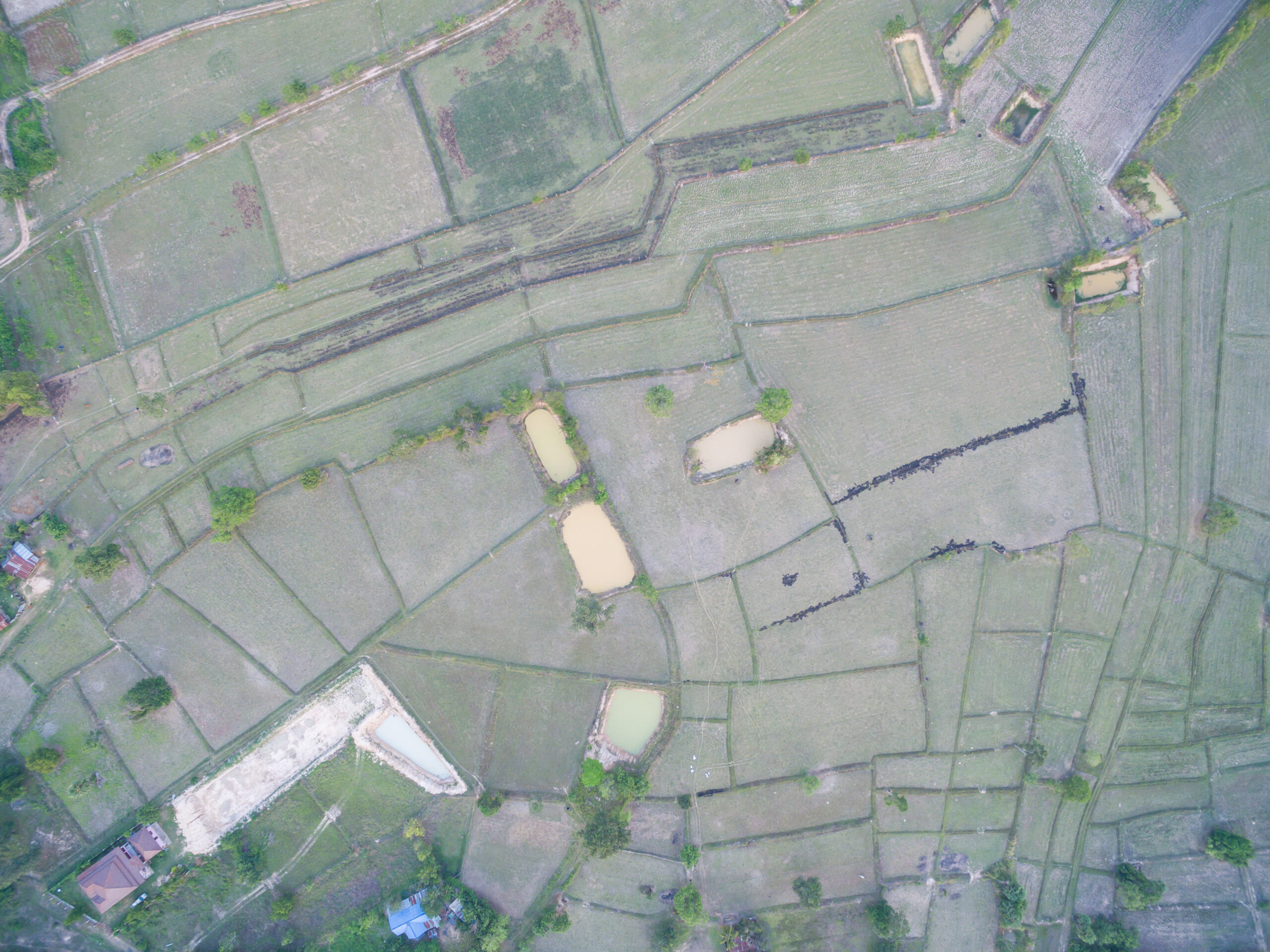
Aeros Geotech
Upgrade your next mapping mission with Aeros Geotech – the most compact and accurate low altitude mapping solution provider. We provide real-time, centimeter-level positioning data for improved absolute accuracy on image metadata.