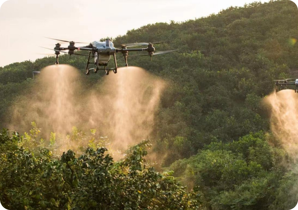
Drones equipped with cameras give companies an extra pair of eyes in the sky, providing a new perspective on operations happening on the ground. Across industries as varied as construction, emergency services, agriculture, and utilities, drones are adding value.
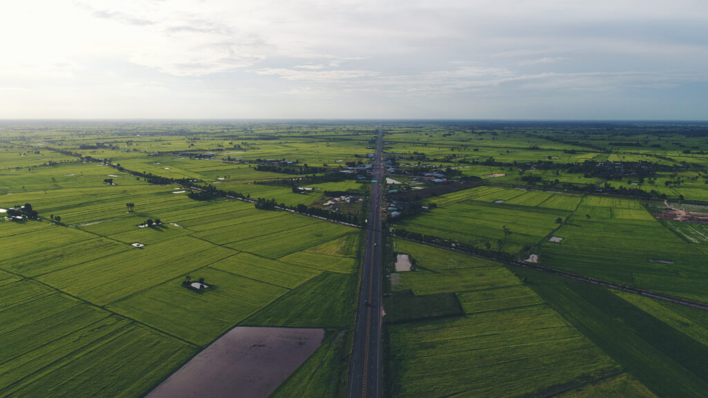
Far from being a niche technology area, LiDAR is reaching all types of industries that need mapping and geospatial data collection services. This encompasses a range of uses — from performing safety inspections to inspecting the progress of mining or agriculture or even estimating the size of a resource stockpile from the air.
INTEGRATES A LIDAR MODULE, AN RGB CAMERA AND HIGH ACCURACY IMU
HIGH AFICIANCY 2KM COVERED IN SINGLE FLIGHT
HIGH ACCURACY VERTICAL ACCURACY 5CM/HORIZONTAL ACCURACY: 10CM