Large-scale farming operations now started to depend on the usage of drones. This is because drones can be used in agriculture to improve crop yields and can monitor crops growth while saving time, labour, and resources.
Drones used in agriculture can gather data on soil variations, crop health, and crop growth stages. Farmers can better plan their planting by using the information gathered by drones that record fields and achieve the best possible yields.
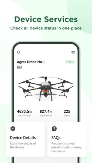
TRACKABLE DATA
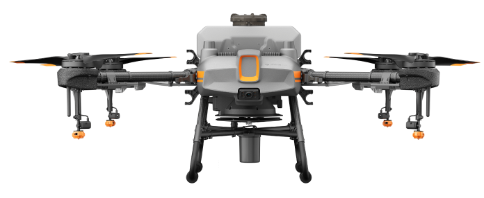
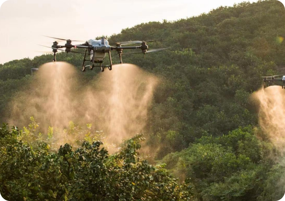
PRECISE SPRAYING
FAST
PRECISE SPRAYING
TYPES OF CROPS
Cash Crops
Durians
Oil Palm
Paddy Field
Eucalyptus (Softwood) Tea Plantation
PLANNING
IMPORT PHOTOS
CREATE A MAP
MANAGE THE MAP
CALIBERATE THE MAP
DATA VISUALISATION
2D ORTHOMOSAIC
ACCURATE 2D MAP FOR DETAILED SITE ANALYSIS AND PLANNING