Mapping the Earth from Above: Geomapping with Drone Technology
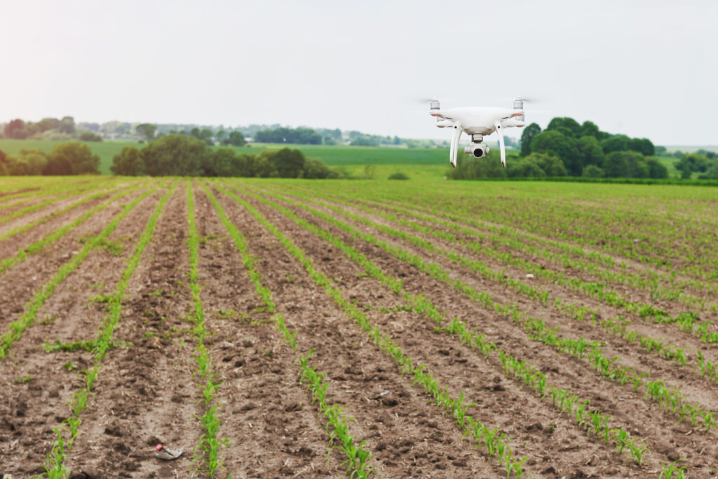
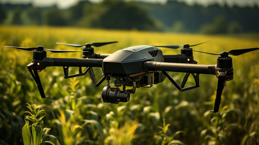
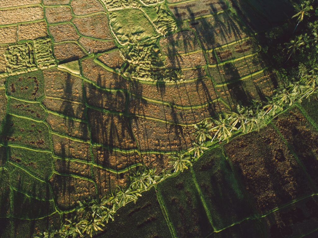
In the realm of geospatial data collection, drones have emerged as indispensable tools for capturing high-resolution imagery and generating accurate maps of the Earth’s surface. Geomapping, the process of creating detailed maps that represent various geographical features and phenomena, benefits immensely from the capabilities of drone technology. Equipped with advanced sensors, cameras, and GPS systems, […]
Mapping the Earth from Above: Geomapping with Drone Technology Read More »