
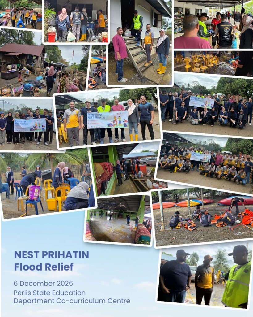
Programme Report: NCER NEST Prihatin Flood Relief
6 December 2025 | Kaki Bukit, Perlis The NEST Prihatin Flood Relief Programme was held on 6 December 2025 at the Perlis State Education Department Co-curriculum Centre, Kaki Bukit, Perlis, from 9.00 AM to 5.00 PM. The programme was organised by NCER NEST and Knowledge Group of Company (KGC) as a coordinated humanitarian initiative to […]
Programme Report: NCER NEST Prihatin Flood Relief Read More »